By Pleasant Grove Creek in the city of Rocklin, surrounded by houses and a golf course green and Monument Park, is a granite pyramid containing the bodies of Joel Whitney and members of his family. The tomb has a perimeter of 40 feet and is 15 feet tall. Its construction date is unknown. It was situated on Whitney's large Spring Valley Ranch. Whitney, who arrived in the Gold Rush and died in 1913 at age 78, was the first occupant of the pyramid. The Whitney descendants sold ranch parcels and the family mansion, keeping the one acre fenced plot with the pyramid. Being very accessible to the public, the pyramid gets many visitors.
Next to the pyramid is the top of a granite pluton with bedrock mortars deepened over centuries by Nisenan women grinding acorns into meal. Plutons form deep underground, meaning a mountain once stood here. The mountain stood next to the ocean. Over time it wore down to almost sea level, its remnants filling the present-day Sacramento Valley.
Today I drove to Nevada County where I visited portions the Truckee Trail, part of the Overland Emigrant Trail network. The Truckee Trail opened in 1845. Those arriving to the Sacramento Valley via the Truckee Trail added to the American population in California, so the trail played a small part in the United States wresting control of California from Mexico in 1847. Three cheers for the Truckee Trail! The completion of the Transcontinental Railroad led to a steep reduction in trail traffic. I have no idea when the last wagon passed over this route..
Conestoga Road off of Highway 49 follows directly over a section of the Trail.
The Trail crosses modern sections of road in many spots. Using the Truckee Trail and Nevada City Road Driving Guide from Trails West, Inc., I drove to two Trails West markers along the Trail.
These parts of the Sierra foothills are rural and privately owned. No Trespassing signs abound. I greatly prefer poking around the National Forests, where I can get out and stretch my legs and not see a single other person.
Private Alyn W. Butler, Company M 110th Infantry, fell in battle in Fismes, France one hundred years ago today. He was the only Roseville resident killed in action in World War I.
His remains were returned in 1939 and interred in Roseville Cemetery. The American Legion's Alyn W. Butler Post No. 169 in Roseville is named in his honor.
On the coming September 15, the City of Fismes will dedicate a memorial to those who served defending their city. Meadville, Pennsylvania and Fismes are sister cities, as many residents of Meadville and Pennsylvania served in the defense of Fismes. Representatives from Meadville will attend the ceremony.
Post Script, September 7, 2018: I marked the anniversary on my calendar over a year ago. About two weeks prior to the anniversary, I notified the Roseville and Granite Bay Press Tribune of the upcoming anniversary, as it was only fitting that Roseville should remember. Reporter Brody Fernandez called me for details. The newspaper ran an article on August 31. However, it got Alyn's age wrong (20 years old) and his unit wrong (110th Infantry Division). It also referenced a great-grandson Harry Butler, but I have found no record of Alyn Butler being married or having any children. He was 19 when he died.
On September 5, I sent an email to the City of Fismes noting the anniversary, adding the photograph and newspaper clipping above. I ended: "God bless the City of Fismes. May the friendship between the United States and France last forever." Later that day, I received a nice response from Denis Queva, General Director of Services, City of Fismes. He mentioned the strong bond between Fismes and the United States, a bond forged from two World Wars, and that he would pass the message on to the neighboring town of Fismette and the Memorial committee. I also received an email from Andy Walker, City Manager of Meadville, Pennsylvania. He said he was part of a group that would travel to Fismes for the memorial dedication, to represent the City of Meadville, the Commonwealth of Pennsylvania, and the United States of America.
My email to Fismes, including headstone photo and newspaper clipping, made it to the Fismes Memorial 18 Facebook page, with my message translated to French. From there, it went into an article in the September 6 edition of the L'Hebdo de Vendridi.
I don't remember where I first saw on the internet that Congressman Tom McClintock would be giving a town hall meeting at the Tower Theater in Roseville at 10am on February 4. I read about it four days before the event. I made a note and figured if my morning was free I'd attend it. I'd never been to one of his town hall meetings. I envisioned the theater being half full, with McClintock giving a talk about this and that, and taking audience questions about this and that, and that would be that.
Was I a naive one. I forgot we just had an election and there are a lot of angry people.
The first sign something was different was the two women at Washington Boulevard Underpass walking together towards the downtown. They were wearing pink knitted pussy hats. Passing the traffic circle onto Oak Street, I saw more people walking in the direction of the Tower Theater. I pulled into the city parking garage. On most Saturdays there are open slots on the first level. I had to drive to the third level to park.
It was about 9:50 and there was already a large crowd outside the theater on Vernon Street. I regretted leaving the house empty handed. I called my wife and asked her to bring my video gear. The drive is about ten minutes. I waited on Oak Street for her to arrive. I took the video gear, thanked her, and she returned home. By now the town hall meeting was underway.
I don't know exactly how many Trump protesters there were, but the number was in the hundreds. The crowd was concentrated in front of the theater, with a smaller number to the south on Taylor Street. Roseville police officers were about, and they had traffic access blocked on Vernon Street and Taylor Street.
There was some interaction between protesters and the handful of Trump supporters. I saw no violence and heard of none. Some Trump supporters wore Make America Great Again hats.
I found it humorous, as I walked around taking videos, that I'd pass a person with a certain look in their eyes, and I'm sure I had that same certain look in mine, and that person or I would ask, "Are you a Trump supporter?" With the answer in the affirmative, we'd have a brief conversation, and continue on.
What can I say about the Roseville Trump protest that is any different from several protests elsewhere in the news? There were the same chants, the same signs, the same anger. Congressman McClintock left the theater under police escort to his waiting vehicle. The crowd followed him with loud chants.
At the Roseville Trump protest of February 4, 2017, nobody got hurt and no property was damaged.
Walking up the parking garage stairs to the third level, I met a 65 year old woman. We wound up spending some twenty minutes talking about the state of the country. I said I voted for Trump. She said she didn't vote for Trump but she also didn't say who she had voted for. We agreed on more things than we disagreed. The important thing is, we had a conversation. We didn't shout at each other or berate each other. It was a respectful conversation.
Today I hiked Euchre Bar Trail, my goal the Southern Cross Mine, but when I reached the third downed tree, I decided to turn around.
No other vehicles were at the Iron Point trailhead when I arrived at 8:15. The clear skies and cool temperatures promised perfect hiking weather. In my Osprey pack were a fleece jacket, knit cap, and fire making items, to keep me through a chilly night in the deep canyon should circumstances dictate - a twisted ankle or being half-eaten by a mountain lion or such. I've never encountered another hiker beyond the bridge, and didn't expect to see one today. I wound down the steep trail. A westbound Union Pacific freight train some one thousand feet above me broke the silence. Soon I could hear the roar of the river. I reached the footbridge over the North Fork American River. There was no wind, and the surface of the water was like glass.
Iron Point Trailhead
Some twenty minutes after crossing the river, I reached a downed pine tree with a trunk diameter of about thirty inches. The needles were still green. The roots, now reaching into the air, had taken up large chunks of slate. The slate is part of the Shoo Fly complex, the oldest rocks of the Sierra Nevada, and in the slate can be found veins of quartz containing gold. I looked for quartz in this exposed slate, but saw none. I wound around the roots, crawled over the trunk, and continued on my hike.
I reached the second fallen tree, which I had seen on my last hike here (2014, I think). The bark had fallen off the trunk. I crawled over the trunk and continued on.
This section of trail is very beautiful, with the several emerald-green pools below. I passed a pile of stones at a level spot overlooking the river. I'm sure the Forty Niners put up these stones for a cabin or tent site during the Gold Rush. About the ground are chunks of quartz the miners pulled out of the hillsides. The rocks are now covered in moss.
A bit later I reached the third downed tree, too large to crawl over. Others had made a path up and over the roots. I looked at this obstacle and considered my situation. I was by myself, the mine was a good half mile away, and there might be more downed trees. If I needed to reach the mine, I could try the route from Foresthill Divide through Dorer Ranch. I considered everything, and decided to have lunch at my gold panning spot.
View from the trail to my gold panning spot
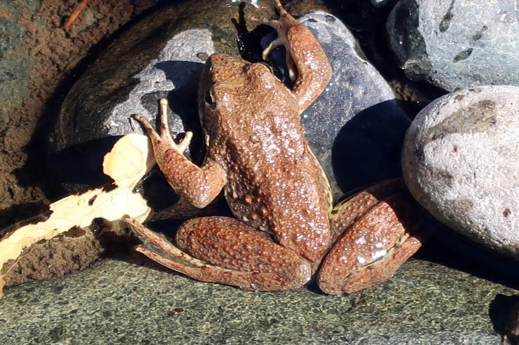
The river was at the lowest level I had ever seen, a good two feet below normal judging from the moss on the rocks. I'll return soon with a bucket, shovel, and gold pan, but today I simply enjoyed the scenery. Small trout rose to the surface. Frogs hopped about. During spring snow melts, in years without drought, I've seen the river running so hard that getting caught in the current meant certain death, and I've heard the clunk of boulders the size of basketballs moving downstream. But today I could have crossed the river without getting my knees wet. I finished my lunch and poked around the bar. People camp here. Someone had left behind a piece of quartz taken from a nearby vein. I'm sure they had taken several pieces, but left this one as it contained so little gold it was not worth carrying out of the canyon. I left the rock, so that others could find it and see the gold. Also at the bar was the rusted wheel of an ore cart from some mine around here.
Gold-bearing quartz
I wonder if this is where Thomas Lane met his end. From the Daily Alta California of July 2, 1855:
I made the 1800 foot ascent without needing to stop and rest. I did briefly talk with two men in their thirties hiking down to the river, the only others I saw on the trail this day. They didn't intend to go beyond the bridge. Few people do. Here may be the reason the trail from Iron Point to the river is well maintained, while the section from the river to Dorer Ranch is blocked with downed trees - it's a matter of use. Or maybe the Forest Service doesn't have the staffing or funds to remove those large trees. (The Forest Service website says that no trail maintenance has been done since 2013.) Perhaps it's intentional neglect. This is a designated Wild and Scenic River, and since few use the section of trail, why not let it revert to its wild state?
This board inside the Auburn Veterans Memorial Hall (built 1931, dedicated January 1932) tells us of the existence of Auburn Barracks 570, Veterans of World War I.
The Veterans of World War I of the U.S.A., Inc. was organized in 1948 and incorporated by Congress in 1958. It was a fraternal, civic, and social organization, with a constitution, by-laws, and rituals similar to those of the Grand Army of the Republic and the American Legion. The organization dissolved following the death in 2011 of its National Commander and last remaining member, Frank Woodruff Buckles, who was also the last surviving American veteran of World War I.
The board in Auburn has the first entry dated 1956. The last year with a Barracks Commander is 1986. The last year with an Auxiliary President (a veteran's wife) is 1989.
Two years ago I hiked to Tinker Knob but found no safe route to the summit. This was a bit frustrating, for I had stood atop the summit two or three times before. Today I returned and reached the top.
Tinker Knob is the core of an extinct volcano at the crest of the Sierra Nevada in Placer County. It sits along the Pacific Crest Trail, and is a popular hiking destination. The elevation is 8,949 feet. The slopes are rocky and steep. A short path from the Pacific Crest Trail reaches the base, then it splits into several paths. Only one (as far as I know) goes to the summit. Absent finding this path, scrambling is required to reach the top.
I departed the trailhead at Donner Pass at 6:20 AM, my destination about 7.5 miles away. I walked in solitude until 7:05, when I passed the first hikers, a father and his teenage son. Many trees on this first section of trail are bent at the base from the weight of deep snow on the steep slopes.
I reached the base of Mt. Lincoln at 7:55. The going would be fairly level from here to the approach of Anderson Peak. Patches of snow still blocked parts of the trail.
Tinker Knob came into view as I rounded Anderson Peak. By now I had passed about ten hikers who told me they were going the entire length of the Pacific Crest Trail, from Mexico to Canada.
At 11:00 I was at the base of Tinker Knob. I took two paths that led to large rocks on steep inclines that I didn't want to tackle, then I saw a young couple taking a route that involved some scrambling. I followed them and was soon on the summit.
At the summit is a military ammunition can that holds small notebooks. In one notebook I found my entry for July 31, 2010: "Second time here. Great!" I signed in to the current notebook.
The couple I followed to the top stayed but a few minutes. I talked with a group of hikers who were at the top when I arrived. Soon we were joined by Rob, a man in his fifties who lives in nearby Truckee. He had been to Tinker Knob the previous Saturday, and he said he goes there several times a year. He had started his hike at Donner Pass, and would finish it at Squaw Valley.
A woman in the group did a yoga headstand.
Here are the sights from the summit. Rob said that on a clear day one can see the mountains of the Coastal Range across the Sacramento Valley. I told him that Tinker Knob can be seen from Iron Point, the starting point of Euchre Bar Trail, near Alta.
View west, the canyon of the North Fork American River
View north, the Pacific Crest Trail and Anderson Peak
View south, Lake Tahoe
With my Kenwood TH-F6 2-meter radio, I called the W6EK repeater in Auburn, and got a response from a ham operator in Winters. Later, at the base of Anderson Peak, I heard Richard WA6RWS on the repeater, and I made contact with him. Richard and I are members of the Sierra Foothills Amateur Radio Club.
I met a man hiking the entire length of the Pacific Crest Trail, having started in early May. He was checking the news on his smart phone. Reception on the trail is limited. He had last heard about the coup attempt in Turkey, but not that the coup had failed.