Showing posts with label Euchre Bar Trail. Show all posts

Saturday, October 1, 2016

Three Trees on the Trail


Today I hiked Euchre Bar Trail, my goal the Southern Cross Mine, but when I reached the third downed tree, I decided to turn around.

No other vehicles were at the Iron Point trailhead when I arrived at 8:15. The clear skies and cool temperatures promised perfect hiking weather. In my Osprey pack were a fleece jacket, knit cap, and fire making items, to keep me through a chilly night in the deep canyon should circumstances dictate - a twisted ankle or being half-eaten by a mountain lion or such. I've never encountered another hiker beyond the bridge, and didn't expect to see one today. I wound down the steep trail. A westbound Union Pacific freight train some one thousand feet above me broke the silence. Soon I could hear the roar of the river. I reached the footbridge over the North Fork American River. There was no wind, and the surface of the water was like glass.

Iron Point Trailhead


Some twenty minutes after crossing the river, I reached a downed pine tree with a trunk diameter of about thirty inches. The needles were still green. The roots, now reaching into the air, had taken up large chunks of slate. The slate is part of the Shoo Fly complex, the oldest rocks of the Sierra Nevada, and in the slate can be found veins of quartz containing gold. I looked for quartz in this exposed slate, but saw none. I wound around the roots, crawled over the trunk, and continued on my hike.


I reached the second fallen tree, which I had seen on my last hike here (2014, I think). The bark had fallen off the trunk. I crawled over the trunk and continued on.

This section of trail is very beautiful, with the several emerald-green pools below. I passed a pile of stones at a level spot overlooking the river. I'm sure the Forty Niners put up these stones for a cabin or tent site during the Gold Rush. About the ground are chunks of quartz the miners pulled out of the hillsides. The rocks are now covered in moss.


A bit later I reached the third downed tree, too large to crawl over. Others had made a path up and over the roots. I looked at this obstacle and considered my situation. I was by myself, the mine was a good half mile away, and there might be more downed trees. If I needed to reach the mine, I could try the route from Foresthill Divide through Dorer Ranch. I considered everything, and decided to have lunch at my gold panning spot.


View from the trail to my gold panning spot

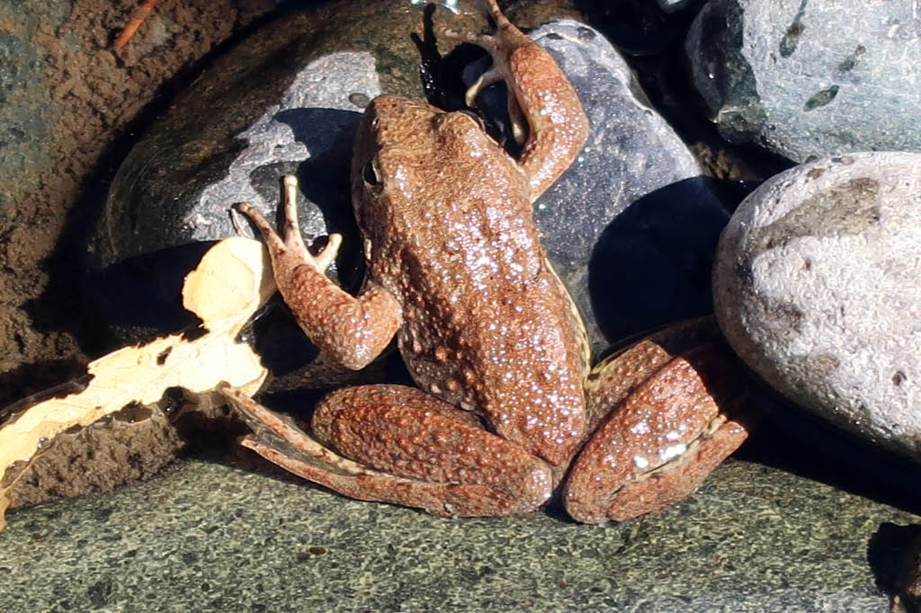
The river was at the lowest level I had ever seen, a good two feet below normal judging from the moss on the rocks. I'll return soon with a bucket, shovel, and gold pan, but today I simply enjoyed the scenery. Small trout rose to the surface. Frogs hopped about. During spring snow melts, in years without drought, I've seen the river running so hard that getting caught in the current meant certain death, and I've heard the clunk of boulders the size of basketballs moving downstream. But today I could have crossed the river without getting my knees wet. I finished my lunch and poked around the bar. People camp here. Someone had left behind a piece of quartz taken from a nearby vein. I'm sure they had taken several pieces, but left this one as it contained so little gold it was not worth carrying out of the canyon. I left the rock, so that others could find it and see the gold. Also at the bar was the rusted wheel of an ore cart from some mine around here.



Gold-bearing quartz

I wonder if this is where Thomas Lane met his end. From the Daily Alta California of July 2, 1855:


I made the 1800 foot ascent without needing to stop and rest. I did briefly talk with two men in their thirties hiking down to the river, the only others I saw on the trail this day. They didn't intend to go beyond the bridge. Few people do. Here may be the reason the trail from Iron Point to the river is well maintained, while the section from the river to Dorer Ranch is blocked with downed trees - it's a matter of use. Or maybe the Forest Service doesn't have the staffing or funds to remove those large trees. (The Forest Service website says that no trail maintenance has been done since 2013.) Perhaps it's intentional neglect. This is a designated Wild and Scenic River, and since few use the section of trail, why not let it revert to its wild state?

Saturday, May 31, 2014

So Few Go Here Nowadays

Climbing out of a steep canyon in hot weather is the very definition of insanity, so with summer approaching, today I made perhaps my last hike on Euchre Bar Trail, until cooler temperatures return.

I wanted to try a new spot, about 0.25 mile upriver from where I panned last week. Google Earth shows a large rock outcrop along the North Fork American River. It looked promising for gold.

This hike being exploratory, I traveled light, my only panning gear a plastic pan and a trowel, inside my Osprey pack. The Home Depot five gallon bucket, folding shovel, and other gear remained at home.

The trail upstream beyond the footbridge at Euchre Bar is in need of maintenance. It's impossible not to brush against the poison oak. (I got poison oak on my hands from last week's hike.) In one spot, three trees had fallen across the trail, in close proximity, but it was easy to climb over them and continue. I think maintenance is done by volunteers, and that may be a long time coming.

I reached a terrace overlooking the rock outcrop. A terrace is a level spot carved into a hillside by the Forty Niners to make their camps. The outcrop and river were some fifty feet below, and the descent was steep. The place looked inviting for gold and I wanted to get down there. I poked about but found no safe route. During the Gold Rush I'm sure there was a simple trail from the terrace to the river, but now the area is overgrown with vegetation. Should I try to make it to the river? Absolutely not. Few hikers starting from Iron Point travel beyond the bridge at Euchre Bar. I could very well be the only person on this section of the trail today. The hillsides are tall (over 2000 feet above the river) and steep, and should trouble come there is no cell phone reception down here. Even getting a Personal Locator Beacon signal out is questionable. The more hiking partners you have, the more risks you can take. When you hike alone, you have to use common sense.

Before turning around, I stood for a few minutes looking at the river. At my feet was an iron pipe, built of plates and rivets, some 12 inches in diameter and several feet long. It likely dated to the late 1800s. Nearby was a water ditch used for mining operations.

So few go here nowadays, but the canyon was once busy with activity. The Nisenan of course were here, for centuries, and in the rock outcrops by the river one can easily find concave holes where the women ground seeds for meal. I don't think the fur trappers working the Sacramento Valley made it this far upriver, so the first non-natives here were likely the Forty Niners. They made their camps up and down the river, and scooped gold from the gravels with tin cups and whatever else was handy. They cut the trees on the hillsides and built large flumes through which they diverted the river, so they could reach the gravels at bedrock. The period of placer mining ended, and next came the hard rock mines, the Pioneer and the Southern Cross and the American Eagle, to name a few. The mine operators built dams and installed electrical generators. They slid stamp mills on skids down the steep hillsides and set them up by the river. There were telephones down here!

So much activity. In the September 12, 1896 San Francisco Call newspaper is a letter from a Mr. Muller, regarding trout fishing here. "The scenery along this route is grand, and the American is about the finest in the State for trout." He talks of anglers intending to spend a month on the river. He complains about mine employees illegally using explosives to get fish.

And then the mines shut down, some 100 years ago, and the people left. Equipment too large and heavy to carry out of the canyon remained in place. Fires destroyed the buildings. The trees grew back.

The iron pipes and generators and stamp mill parts, and the terraces and water ditches, remain to tell of the past activity. As I walk about these, I think about how hard it is to get to the river nowadays, there are so few access points. Yet, people once just went up and down it.

Sunday, May 18, 2014

Iron Point and Lovers Leap

A late start today left insufficient time to hike Euchre Bar Trail as planned, so instead I did a little poking around. First I drove to Iron Point, where starts Euchre Bar Trail from the Alta side. Down below, some 1800 feet below, I saw two sections of the North Fork American River. My Magellan Triton GPS gave my UTM coordinates, 10N 692387 4340555. My compass gave the bearings to the two sections: 121 degrees and 170 degrees. Next I plotted the two sections on my topographical map. The section at 121 degrees was 1.8 miles away, the section at 170 degrees was 0.9 mile away.

My map reading exercise over, it was time to poke around. I was alone here. A trail led to the southwest. There was recent maintenance, for stumps of manzanita bushes stuck out of the ground, and manzanita branches were stacked neatly in small piles beside the trail. I followed the trail to see where it would go.


The trail was only a few hundred yards long, and at the end of it was this view of Giant Gap.


I then drove to Giant Gap and parked my truck a short distance from the top of the ridge.

The west side of the Lovers Leap prominence gave this view of the North Fork American River. I could see the Sacramento Valley. Had the day been clearer, I could have seen the Coastal Range.


The view from Lovers Leap proper, on the south end of the prominence, is always spectacular.


The east end of the prominence gives this view of Green Valley and Iron Point. Far in the distance is Tinker Knob, the core of an extinct volcano at the crest of the Sierra Nevada. In the several times I've hiked to Tinker Knob, I never knew I could see Giant Gap from it.


So today I learned that from Giant Gap, one can see both the crest of the Sierra, and across the Sacramento Valley to the Coastal Range.

Sunday, November 17, 2013

Return to Humbug Canyon

Two weeks ago, I went to the abandoned gold mine of Cape Horn Tunnel in Humbug Canyon. Today I returned to the canyon for some more exploring. I wanted to see if there were abandoned gold mines down an unimproved road I had no time to visit on the previous trip. I found that there can be a big difference between what's on a topographic map and what actually exists.

Leaving the Sacramento Valley, I drove up Interstate 80 to Auburn, and then took the road to the old mining town of Foresthill. I traveled another thirteen miles to China Wall Staging Area, where I parked my truck. No other vehicles were about. This parking lot is just above the snow line. When the snows come, the lot will be filled with trucks pulling trailers with snowmobiles. I put on my day pack and went on my way. The temperature was in the mid thirties. Frost was on the ground. The elevation here is five thousand feet. There wasn't a cloud in the sky. Leaves had fallen from the deciduous trees. Most trees here are conifers.

I wound my way among the manzanita along the canyon rim. My route paralleled a water ditch once used for mining operations. No water runs through it now. I wonder if the ditch was built with Chinese labor, giving it the name China Wall. There's no wall around here, only this ditch. From the rim I could see six miles to Iron Point, the start of Euchre Bar Trail from the Alta side. Euchre Bar is my favorite trail. Indeed, this vast canyon, with its long stretch of the upper North Fork American River, is my playground. I've been to the canyon many times, yet I've seen only a small fraction of it. The rugged terrain alone will keep the vast majority of it out of my reach.

Rugged terrain, yet the early miners apparently scrambled over every square inch of it in their search for gold. After all, they sunk mine shafts in many remote places. I think the hillsides were far more accessible in the early years of the Gold Rush. I haven't researched this, but I think the Indians here used fire to clear the underbrush, as did the Indians in the Eastern forests, to give game such as deer room to thrive. When the first miners arrived, they easily walked about the forest. Later, the miners cut down the trees and suppressed the fires, and now the forest floor is choked with brush. Casual hikers like me aren't going to leave the unimproved roads or trails and plunge into that brush. So I'll never see most of this canyon up close. I can only go so far from a trail or dirt road.

Back to the object of my visit today: to walk down the unimproved road in search of abandoned gold mines.

The topographic map had a discrepancy - the unimproved road was shown as a foot trail. At about one hundred yards, a small tree had fallen across the road. I walked under it. Soon there were small manzanita bushes and pine saplings growing in the road. It had been years since a vehicle had come down here. And then the road completely diverged from the foot trail on the map. With the map loaded in my Magellan Triton GPS, my waypoint was in the woods with no trail nearby, although I was still on the road. I continued on a bit, until the vegetation in the road simply blocked progress. I shouldn't have gone this far. I had left a map at home giving my intended route, and I wasn't following it. Since I was alone, this wasn't a good idea. So I turned around.

I didn't see any abandoned mines along this route. Perhaps this had been a logging road many years ago.

I walked uphill and returned to my truck. My little exploration this day had revealed nothing of real interest. But it had been a pleasant hike nonetheless.

Sunday, October 6, 2013

Euchre Bar Trail and Southern Cross Mine


I had wanted to hike both the Euchre Bar Trail and American Eagle Trail, from Iron Point to the American Eagle Mine, but I got distracted and poked around too long at the Southern Cross Mine and what remained of its stamp mill, and I got behind schedule. When I reached Humbug Bar, where the two trails meet, I realized continuing to the American Eagle Mine would cut it close for daylight on the return hike. Since I was hiking alone, I figured it best to turn around.

No other vehicles were at Iron Point when I arrived. I gathered my gear and commenced the hike. I reached the footbridge at Euchre Bar and crossed the North Fork American River. After a short elevation gain, the trail largely parallels the river. I would see no others until the return hike.


Mining activities from the Gold Rush, and in the late 19th and early 20th Centuries, left their mark in the canyon. Euchre Bar Trail is the main trail, but there are other mining trails not on the topographical maps. These are seldom used and in some cases much overgrown. There are terraces - level spots dug into the hillsides by the miners for their camps. In these terraces is found debris such as broken glass, shards from broken pots and dishes, and old nails. At one terrace, someone with a metal detector had dug in several spots. Many people with metal detectors have been there before him. The trail passes a water ditch, built to send water to mining sites.

From the trail, one can see down to a few pieces of equipment from the Southern Cross Mine. There's a trail leading to the site, but I never took the time to go down it. Until today.

Made by Risdon Iron Works, San Francisco, CA

The claim plat for The Southern Cross Gold Mining Company shows that gold was discovered here on October 6, 1884. This was 129 years to the day before my hike.


The Mining and Scientific Press of August 27, 1904 has an article discussing the Southern Cross Mine, including a photograph of the power house. It mentions the 10 stamp mill, the remains which I poked around. The heavy equipment had been hauled 35 miles from Colfax over a wagon road, and then dragged down a 2.5 mile slide from the ridge above to the mine. The river was dammed 2600 feet above the mouth of the tunnel by a timber and stone dam 35 feet high. This might be where the massive Penstock electrical generator now rests.

By 1917, however, the mill had burned and the mine was idle. This is from Mines and Mineral Resources of the Counties of El Dorado, Placer, Sacramento, and Yuba. (1917)

It's amazing how much the forest has recovered from those days. About a century ago, the canyon had active mines with dams and generators and stamp mills. Then the mines closed and the buildings burned or were torn down. Today only the metal remnants lie amidst the trees and brush.


The mines shut down when it was no longer profitable to extract the gold. But there's still plenty of gold inside the hills. The U.S. Geological Survey Professional Paper, Issue 1300, Part 1 (1984) states:

Based on past production and the geologic setting, these mines clearly define a zone of substantiated mineral-resource potential for gold and silver. It is estimated that 1.4 million tons of demonstrated lode resources averaging 0.04 to 0.22 oz of gold per ton occur at or near the Rawhide, Black Hawk, and Southern Cross Mines...

At today's gold price, that would equate to between $74,138,400 and $407,761,200 in gold in these hills.

But environmental laws being what they are, the gold will stay in the hills.

Sunday, March 17, 2013

First Hike of the Year on Euchre Bar Trail


Normally Euchre Bar Trail is my first good hike of the year, done when my legs are out of shape, and following the 1.25 mile walk with its 1,800ft elevation gain out of the canyon, I feel it in the leg muscles the next day. But today's hike was different. I could have walked back to the truck without stopping had I wanted - and at a good pace. Three reasons: 1) I've hiked Stevens Trail several times these past weeks, so my leg muscles are in shape; 2) I was well hydrated; and 3) I used a new Osprey pack that put the weight on my hips. My Jansport pack put the weight on my shoulders. Also, the Osprey pack sat close to my back. The difference in the weight distribution was noticable, making for a much more pleasant hike.

Today's hike was just exploratory, no gold pan brought along, I wanted to check the river level. More hikes to follow.

Sunday, January 13, 2013

Miner's Terrace near Euchre Bar

The Forty-Niners carved level spots called terraces on the steep hillsides to set up their camps. Several terraces exist along Euchre Bar Trail on the North Fork of the American River in Placer County. The terraces also saw use during the Depression, the last significant gold seeking period. Today, the occasional backpacker will set up a tent on the grounds.

One terrace saw heavy use during the Gold Rush and the Depression, as evidenced by the large amount of ceramic, glass, and metal debris on the ground. Its remote location and difficult access have kept away many who would carry away a piece of Gold Rush history.